
President speech
We have a clear strategic priorities to benefit from marine resources in a country surrounded by seas (Mediterranean and Red Seas). and we focus on sustainable management of human activities related to the sea and the environment, research in the fields of applied marine geophysics, marine geophysical natural hazards and projects, to cultivate notable scientists through top quality marine geophysical science education and experiences.
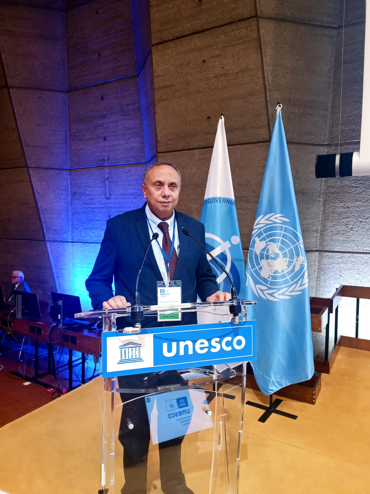
Prof. Adel Ali Ahmed

VISION
Upgrade the level of marine scientific research and exploration survey in Egypt to improve its position among the countries in the field of marine science.
Transfer new technologies in all fields related to the aquatic resources to Egypt that helps to decrease the technology gaps in this field.
MISSION
The mission of the National Institute of Oceanography and Fisheries is “to achieve sustainable development of marine and fresh water resources through increasing their potentials for Natural resources, combating pollution from all sources and working towards reducing poverty and improving the standard of living by developing and introducing new techniques in fisheries and aquaculture.
The above “Mission” could only be achieved through basic scientific and applied research activities in different fields of Oceanography, Fisheries and aquaculture.
HISTORY
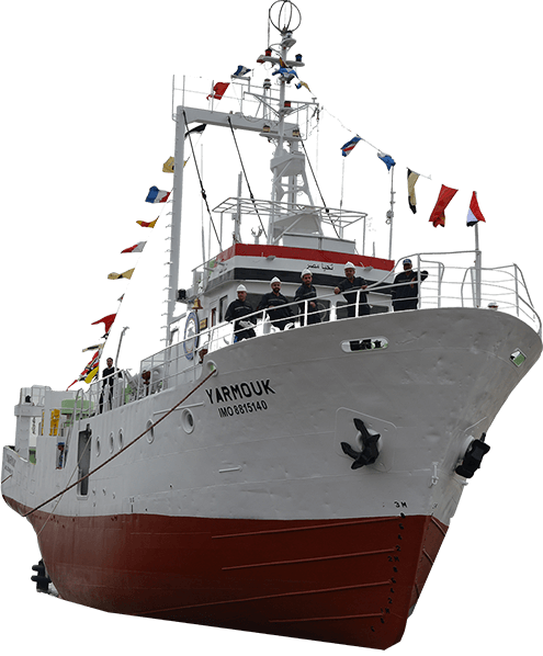
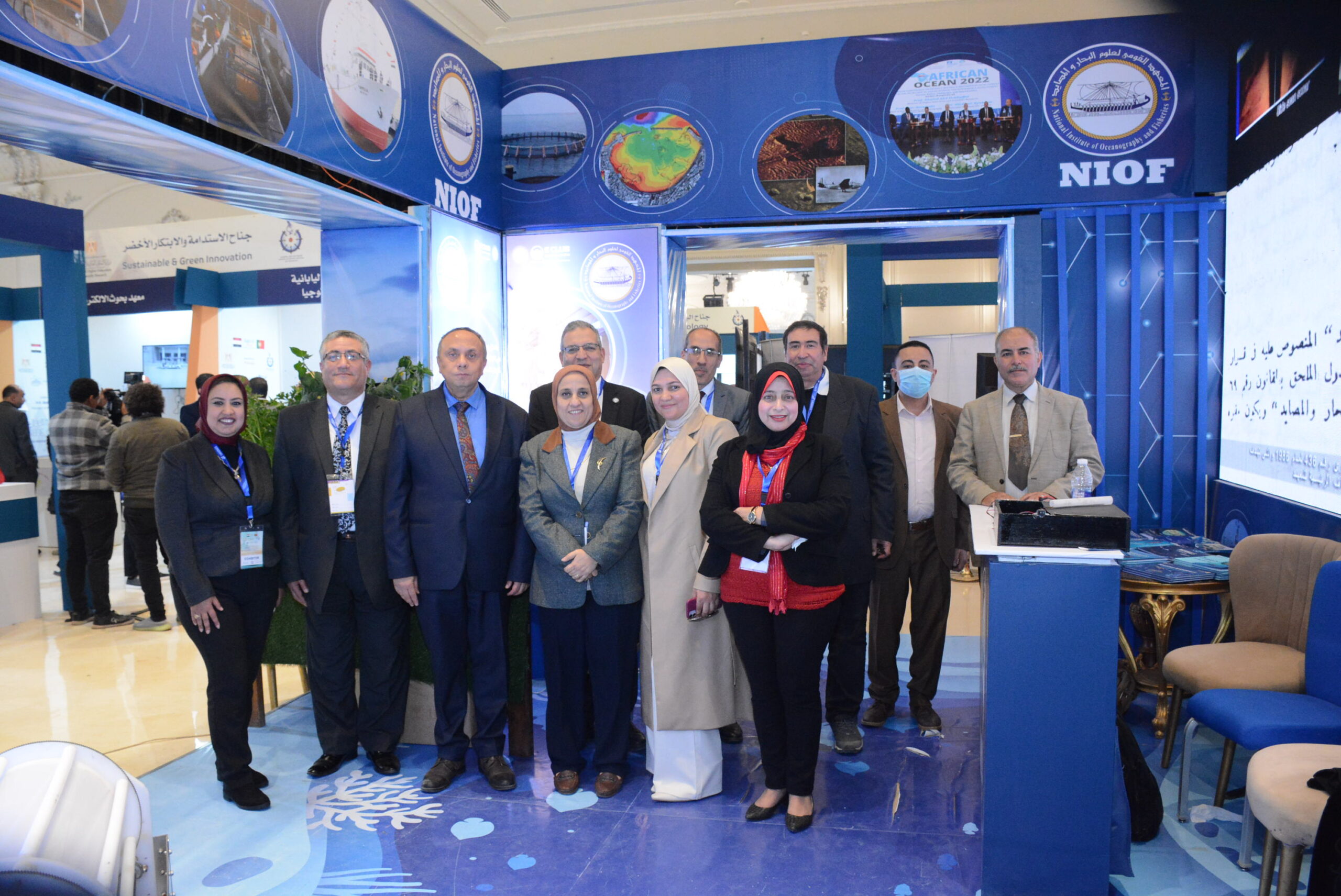
The National Institute of Oceanography and Fisheries (NIOF) is one of the twelve national research institutions affiliated to the Ministry of State for Scientific Research of Egypt. The mandate of NIOF is to “maintain, protect and promote the different Egyptian aquatic environments”.
Historically, the National Institute of Oceanography and Fisheries was first established in 1918, and was located at El-Qaytbay in Alexandria as Alexandria Institute of Hydrobiology. At a later date in 1931, the Alexandria Institute of Hydrobiology was relocated at Keyed Bey on the Eastern Harbor of Alexandria, where the Mediterranean Branch of NIOF is presently located. In the mean time, a Marine Biological Station was established in 1928 at Hurghada on the Red Sea. In the sixties of the last century, the Alexandria Institute and the Hurghada Station were combined with a new branch for the Inland Waters (established in 1967 at El-Kanater “Barrage” City – near Cairo), thus forming the three branches of NIOF.
Our Branches

MEDITERRANEAN SEA BRANCH
Alexandria , EGYPT

RED SEA BRANCH
Hurghada , EGYPT

Suez and Aqaba Gulfs Branch
Suez , EGYPT

Inland Water And Aquaculture
Cairo , EGYPT
our services
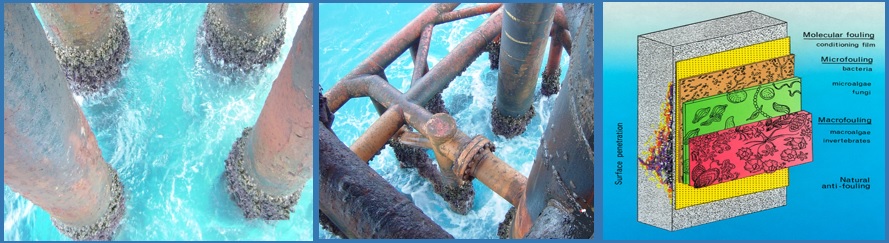
SOLID MARINE GROWTH
Fouling results from the growth of animals and plants on the surface of submerged structures (Anon, 1952). Fouled (marine growth of organism) structures can include intake pipes for industrial or power plants in marine and freshwaters, oil rigs, buoys, moorings, current meters, and hulls as well as other surfaces of boats, ships and submarines (Gordon and Mawatari, 1992).
NIOF introduce Measurements, Prediction, Fouling Control and expected effects in certain site.
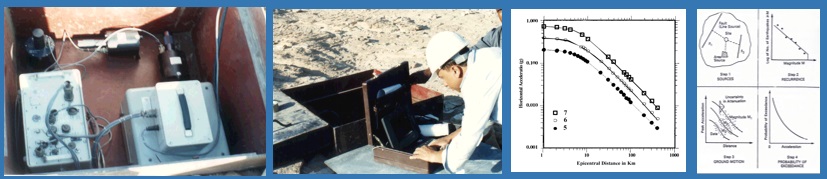
SEISMIC HAZARDS ASSESSMENT
Seismic hazard assessment studies are greatly important to identify areas with different degrees of hazard that will serve for further risk studies.
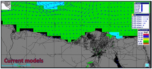
HYDROGRAPHIC STUDIES
Hydrographic studies deal with the measurements and description of the physical features of oceans, seas, coastal areas, lakes and rivers.
ENVIRONMENTAL IMPACT ASSESSMENT (EIA)
EIA is the process of identifying, evaluating, predicting and mitigating the biophysical and environmental consequences of a plan, program or project prior to the decision.
- Water quality monitoring with simultaneous measurement of conductivity (salinity), resistivity, specific conductance, temperature, depth or level, pH, dissolved Oxygen, turbidity, total dissolved solids, and many other parameters according to the application.
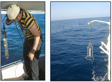
- Miniature electromagnetic current meters which record 2D current data, with high accuracy± 20 and 3600 measuring range in a continuous or burst measuring mode. Sensors are usually deployed using a special mooring techniques.
- Seasonal multi-functional shoreline (coastal) surveys to observe, record and monitor the terrestrial ecosystems [including monitoring land uses, vegetation, flora and fauna abundance, mammals, avifauna, reptiles and vertebrates species distribution and adaptation]
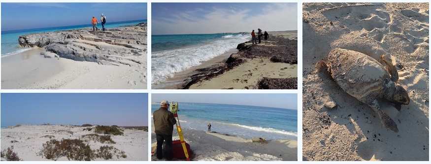
BENTHIC SURVEYS
Benthic survey is the study of organisms that make up bottom communities to determine environmental health of regions and conduct environmental impact studies.
ENVIRONMENTAL AUDITING
Environmental Auditing service provide for Oil sectors on Oil fields, Refineries and Oil Terminals.
[u-calendar month=”” year=””]